The Rennpad
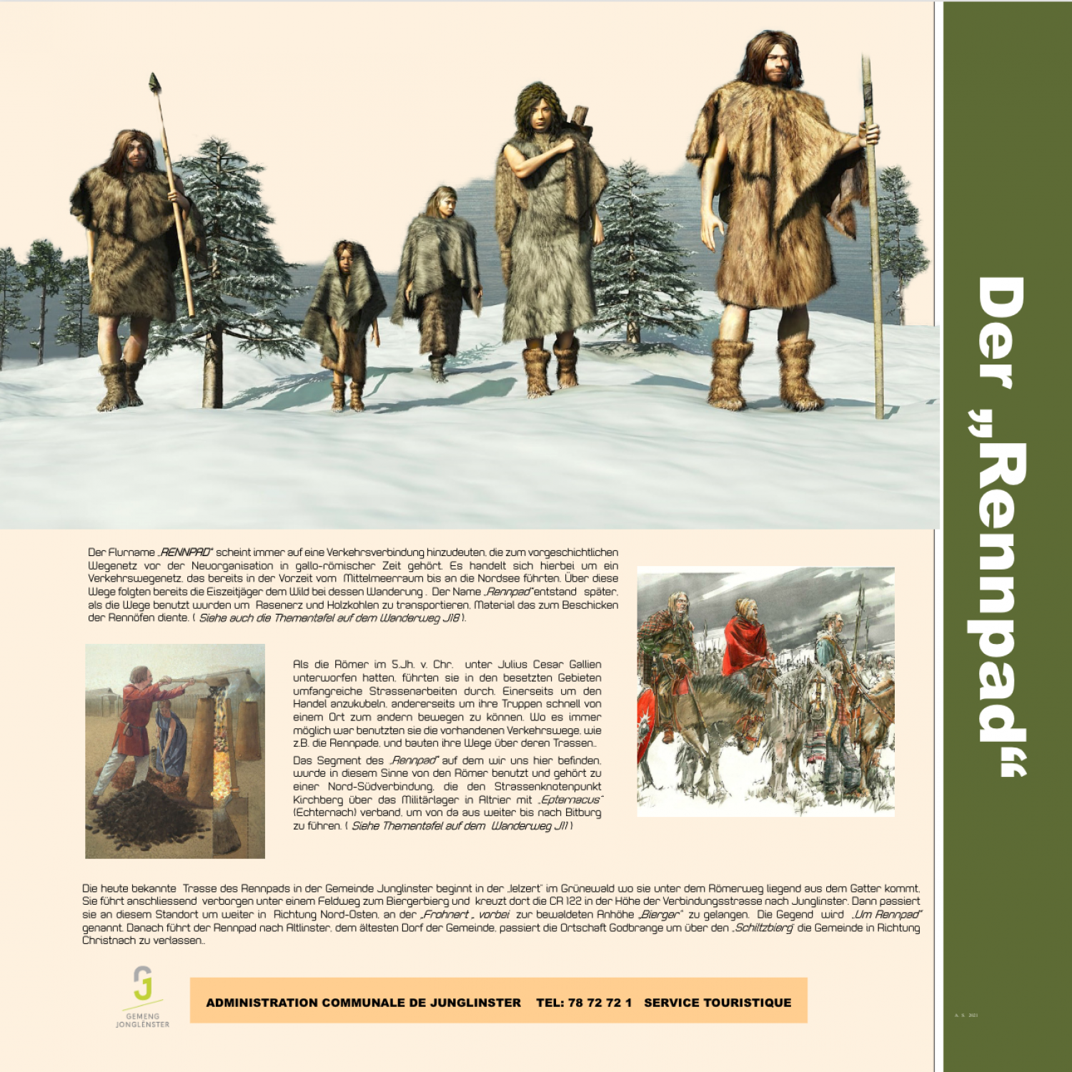
The name “RENNPAD” [lit. running path] always seems to have indicated a connecting path belonging to the prehistoric network of transit routes during the Gallo-Roman era. This is a network of paths which ran from the Mediterranean to the North Sea in prehistoric times. The hunters of the Ice Age followed wild game along these routes. The name “Rennpad” arose later as the paths were used to transport bog iron and charcoal, materials used to line the bloomery furnaces (see also the sign along hiking trail J18). When the Romans under Julius Caesar conquered the Gauls in the 5th century BCE, they undertook extensive road works in the occupied areas, both to stimulate trade and to move their troops quickly from one place to another. Where ever possible, they used existing transportation routes, such as the Rennpad paths, and built their roads over these foundations. This particular segment of the “Rennpad” was used by the Romans in this way and belongs to a north-south connection which linked the hub of Kirchburg via the military camp in Altrier with “Epternacus” (Echternach), leading from there onward to Bitburg. (see also the sign on hiking trail J11) The road now known as Rennpad in the parish of Junglinster begins in the “lelzert” in the Grünewald, where it runs under the Roman road as it comes out of the gate. It then runs, hidden from view, under the field path to Biergerbierg and there crosses the CR 122 at the connecting road which leads to Junglinster. It then passes this spot and continues to the north east, past the “Frohnert” to the wooded heights known as “Bierger”. This area is called “Um Rennpad” [lit. around the Rennpad]. The Rennpad then leads to Altlinster, the oldest village of the parish, passes the town of Godbrange to leave the parish via the “Schiltzbierg” towards Christnach.
Download Flyer (PDF)