Historical site: “Schéiferbierg” Bourglinster
at the signpost P8 on the Roman road. Reachable va the hiking trails:J1/J8/J6/J4/J11/J13/J9
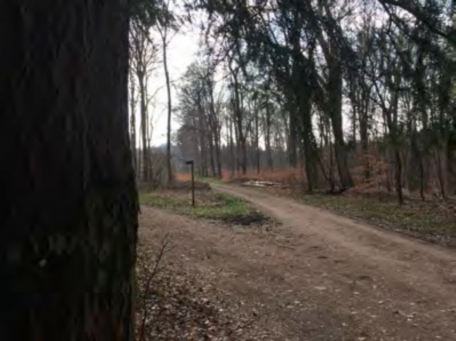
On the Ferraris map of 1770, there is a sort of tree-lined avenue drawn which leads from Bourglinster castle to here. Here, at the end of this avanue, a building is drawn on the historical map which is labelled with the number 46. Today, nothing remains either of this avenue or of the building. There are also no documents extent relating to the purpose of this mysterious building. It is said that there is an underground passage between the castle and this site! Up to today, despite renovation work, no underground passage has been discovered.